SimonD’s workbench

oldravendale

Western Thunderer
Hi again Simon.

This may make for rather more interesting movements than I'd thought. (I planned to travel on the branch a month or so ago but the trains from Rothley were so crowded that I intend to try another day). However, there's a Youube on
At around 11 mins the movements to actually get on to the branch are featured.

Brian
 

Yorkshire Dave

Western Thunderer
I think it is incredible how the map makers 120 years ago could produce maps so accurately.

So much so even the marine charts surveyed, mapped and created by Captain Cook of the entrance to the St Lawrence River and Newfoundland (1755) and later during his three exploration voyages (1768-1779) around the Pacific Ocean, New Zealand and Australia form the basis of the marine charts used today with very few or no amendments.

Despite satellite navigation I read in one of my neighbours yachting magazines a few years ago an interview with the Danish captain of the Emma Mærsk (one of the largest vessels in the Maersk fleet) still likes to use charts.

Nah, it’s all faked, everyone knows you can’t have satellites when the earth’s flat! :)

Which I always thought it was supported by four elephants standing on the back of a tortoise...:D
 
Last edited:

simond

Western Thunderer
I’m very happy to use glass charts on my boat. But I do have paper, pencils and parallels, in case of need…
 

Pencarrow

Western Thunderer
I think it is incredible how the map makers 120 years ago could produce maps so accurately. The registration with satellite imagery is spot on.

Once you're familiar with how the map makers and surveyors worked (lots of triangles and checking of closing errors) it's not really a surprise that the maps are accurate. The tech may have got fancier over 120 years but the principles are the same now.

This has got to be the first great surveying project: Great Trigonometrical Survey - Wikipedia
 

Yorkshire Dave

Western Thunderer
I’m very happy to use glass charts on my boat. But I do have paper, pencils and parallels, in case of need…

It always did cross my mind, and often discussed with my sailing neighbour, with so much reliance on electronic navigation aids how would one cope if all power failed unexpectedly and had to fall back on manual calculations, paper charts, parallels, sighting compasses, etc...and drawing cocked hats!

Let alone sextants and star charts in wide oceans.
 

Alan

Western Thunderer
Watching the programme about our new aircfact carrie r the junior officers still practice using a sextant.
 

simond

Western Thunderer
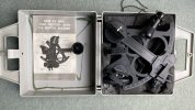
I have a sextant. Lovely thing, in its box. Complete with original sales receipt, screwdriver, oil, etc.

Not sure it was actually a bargain, but in the years since I purchased it, I’ve never quite got round to learning to use it properly. It’s not even on show. I really should do better…
 

Boyblunder

Western Thunderer
Here is my Davis plastic sextant. Its reasonably easy to use although definitely not intended for display. I used to carry it on my boat for North Sea passages in case the electronics packed up but the best longitude I ever managed in a sea way was 50 miles out! These days there are so many wind farms we can navigate to Europe by counting the windmills.

Davis_Sextant.jpg
 

Ian G

Western Thunderer
I have not used a sextant since the late 80's, helping set up a Decca signal station for an Exercise a few weeks later

Ian G
 

3 LINK

Western Thunderer
It’s ok if you’re standing on a hill and measuring angles to a couple of suitable marks.

It’s a totally different kettle of fish if you’re trying to take bearings whilst wobbling around in a boat!

I have a fishing boat, and although I do read the local charts I have now subscribed to this app and it takes the hard work out of locating wrecks and points of interest. Amazing piece of kit, tides, depth, wreck marks, etc. A bit like a Sat/Nav for your boat…:thumbs:

5E5CBACB-D335-4869-9F68-6845DA9D2EB4.png

Martyn.
 

adrian

Flying Squad
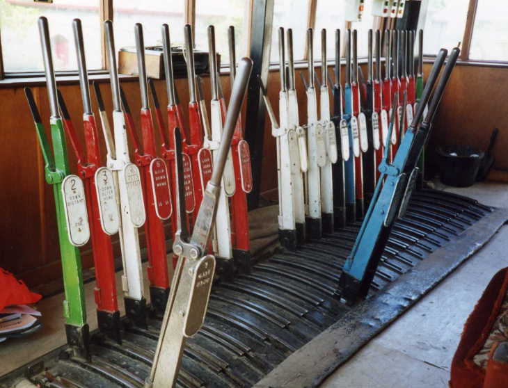
Can anyone point me at a station where a junction lets onto a private quarry branch. Ideally a rural, double track through station, with limited facilities, and a loop giving onto the branch, so the quarry loco can bring the train in, and hand it over to the company loco, and possible take away the empties.

I suppose it could have been a quarry, mine, dock, whatever, private branch.

ideas welcome, I’d like to understand how such things were arranged, and signalled.
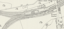
Heapey station - it was a branch line off to a bleach works on one side of the station and there was a link off to a Royal Ordnance site the other way.
Screenshot 2023-04-05 at 22.21.57.png


Top